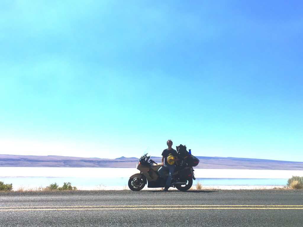
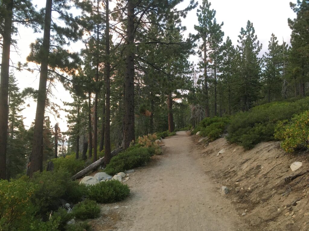
On the morning of July 13, I was finally ready to begin the long journey from Port Dover, Ontario to western Canada and the United States. I was due to watch a good friend perform in the South Country Fair that would take place on July 16 and 17 in Fort Macleod, Alberta, which gave me three days to complete the 3100-kilometre journey. I had already completed various versions of this journey six or seven times in the past (in both directions), and this time, I would be following my most-used route: from Ontario, I would travel into Michigan, head north to the Mackinac Bridge connecting Michigan’s Lower and Upper Peninsulas, then, follow U.S. Route 2 west through Michigan, Wisconsin, Minnesota, North Dakota, and Montana, then finally head north towards Alberta.
People are often surprised to hear that the fastest way between these two parts of Canada involves travelling through the United States. In addition to the reduced distance, this route presents several advantages:
- The speed limits are higher.
- The gas is less expensive.
For holders of Ontario driver’s licenses, speeding tickets received in most of the States along the way are not added onto foreign driving records and don’t result in insurance increases. For holders of Alberta licenses, you are safe from this in all of the states. This is assuming you actually pay the ticket, because if you don’t, you might be stopped or arrested in the United States in the future.Shhh….. this hasn’t applied to me in many years, as a “reformed” driver.
On the first day…
I had to work for a few hours in the morning before leaving, so I was only able to travel from Port Dover, Ontario to Grayling, Michigan. The border crossing into the United States went smoothly, as usual, and despite taking a wrong turn and travelling for a few minutes southwest towards Detroit instead of north towards the Upper Peninsula, which somehow led to a bizarre interaction with an intoxicated man at a gas station who claimed to be a preacher heading to California to speak at a funeral, I finished the trip in about six hours, stopping for the night at a hotel next to a gas station along the highway where I had stayed on previous occasions. Given that highway gas stations are not particularly renowned for having lots of vegan food available, I was unsurprised to find that my dinner options were limited to potato chips and snack bars, which I supplemented with a mediocre beer.
On the second day…
On July 14, I got an early start, around 7 AM, and had crossed the Mackinac Bridge, a large suspension bridge connecting the Lower and Upper Peninsulas of Michigan, by 9 AM. The apex of this bridge offers an impressive view, with Lake Michigan visible on one side and Lake Huron on the other. After a quick snack break on the north side of the bridge, I started the journey west on U.S. Route 2.
A few hours later, just east of the small town of Norway, Michigan, I noticed that the clutch lever felt less firm than usual: I had to pull it in until it in all the way, until it touched the hand grip, just to disengage the clutch. This was a problem that I had seen before, and after pulling into the parking lot of a hardware store in the town, I was able to examine the clutch lever and confirm my suspicion: a portion of the clutch lever’s body was so worn out that a metal rod inside it had slowly scraped a hole through the exterior.
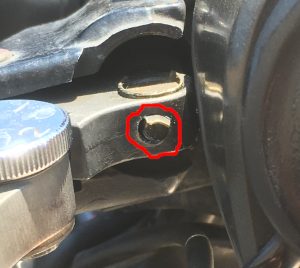


Fortunately, certain habits are formed by owners of old, high-mileage vehicles. In the entire time that I’ve ridden motorcycles, I’ve made a point of travelling with both tools and spare parts, and this trip was not an exception. Before leaving Port Dover, I had made sure to include a spare used clutch lever, just in case, so it was with a big smile that I replaced the damaged lever with the spare that I had brought. I carefully packed the now-broken lever into my tool case so that I could repair it and make it into the new spare, for future adventures.
The rest of the afternoon passed by uneventfully, and I made it through Wisconsin and much of Minnesota without issues, stopping every few hours to fuel up and munch on a few snack bars. By around 8:30 PM, I was having yet another snack bar feast at a gas station. I booked a hotel room in Devils Lake, North Dakota, a short three- to four-hour ride away, and after having a lovely conversation about motorcycles with a nice guy in the gas station parking lot who approached to ask about my bike, I continued on my way.
I expected the next few hours to be uneventful and calm. However, as soon as I left Bemidji, ominous clouds made themselves apparent on the horizon. Over the next hour, rain started falling and I started to see lightning striking the prairies to the north of where I seemed to be headed – but the lightning seemed to remain restricted to a small area, so I continued onward, hoping to simply go past it. However, not more than an hour later, it was clear that I had gravely misjudged the situation: I was riding through a torrential downpour, in almost absolute darkness, and lightning was crashing down several times every minute, sometimes very close to me. Becoming truly scared of the lightning’s proximity, I realised that due to the fact that the highway’s height compared to the surrounding fields, I was the tallest object anywhere nearby. There was nowhere to pull off of the road for shelter, not a single object under which I could hide, and no cars were visible in any direction. Due to the strength of the rain, I couldn’t pull over or take out my phone to look for where there might be shelter in a nearby town, and I did not dare speed up due to the poor visibility, so, with my hazard lights flashing, I nervously continued forward. Rain continued to fall, lightning continued to crash down around me, and every time I saw light, I wondered if I was about to be turned into some sort of well-cooked meal about which a cannibal might dream. This continued for what felt like hours, and to this day, I have never been truly fearful for my life the way that I was that night.
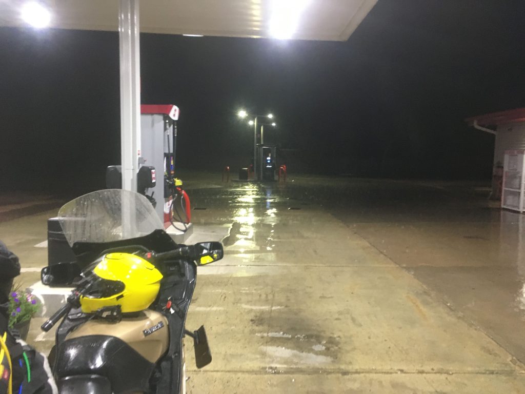
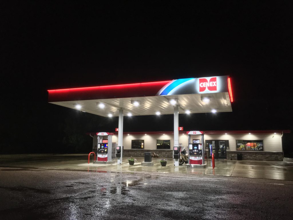
Just before 11 PM – by which time I was supposed to have already crossed into North Dakota – I finally saw a light in the distance. Never had I ever been so happy to see the giant illuminated sign of a CENEX gas station in the distance. As I reached the edge of the tiny town of Fisher, Minnesota, I struggled to cross the highway and turn into the gas station (difficult when the road is almost invisible due to the rain), at the same time as the employee who had been standing guard on this rainy night was locking the front door. I spent about an hour taking refuge under the canopy of the filling area.
The heavy rain eventually slowed. I called the hotel in North Dakota to ensure that my room would remain available, and continued down the highway for a couple of hours until I arrived. As soon as I was able to throw myself onto the hotel room bed, sleep came easily.
On the third day heading west…
After a welcome rest, I left my hotel in Devils Lake to begin the 12-hour drive to Lethbridge, Alberta, which would take me across all of North Dakota and most of Montana, following U.S. Route 2. The day was relatively uneventful, though the warm sun made the ride hotter than I would have liked – warm enough that I would occasionally feel the need to raise my helmet’s visor to allow some fresh air to hit my face directly. It was on one such occasion that I felt an object smack me in the face. I pulled over, and found out that a grasshopper had jumped at an inopportune moment, flown through my open visor, smacked me in the face, and then found itself stuck inside my helmet:
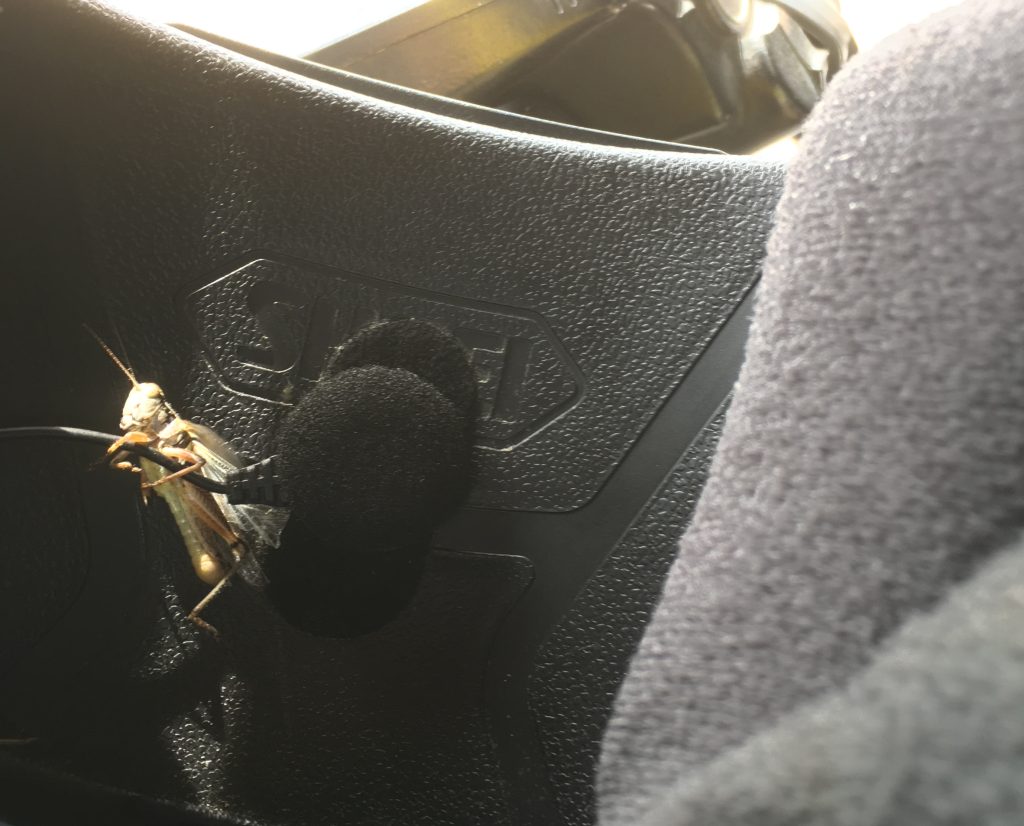
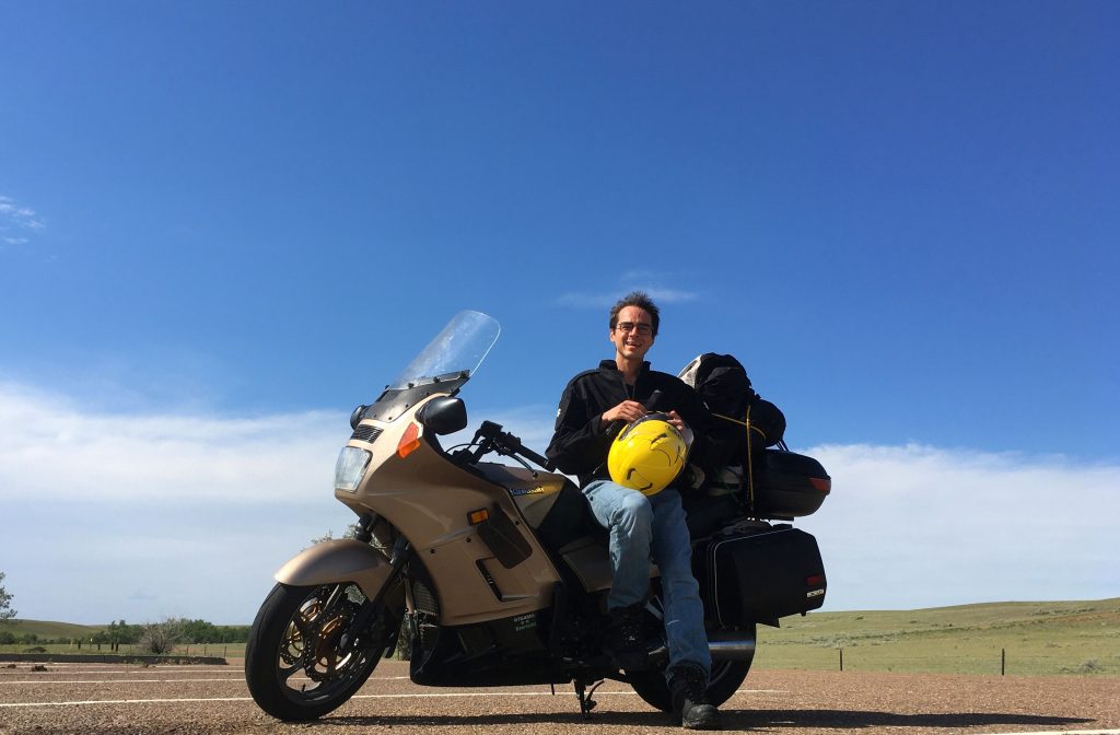
After pulling over as quickly as one does after noticing an insect jammed directly in front of his or her mouth, I extricated the grasshopper from my helmet and released it (though I have some doubts about its health following the incident), and continued on my merry way, unbothered by further incidents that day. Late in the afternoon, I took a quick rest stop, then took photos of the rest stop, and of myself resting at the rest stop:
There was still a long way to go, so I continued onward, eventually crossing into Canada and reaching Lethbridge in the evening. I had arrived in Alberta on time.
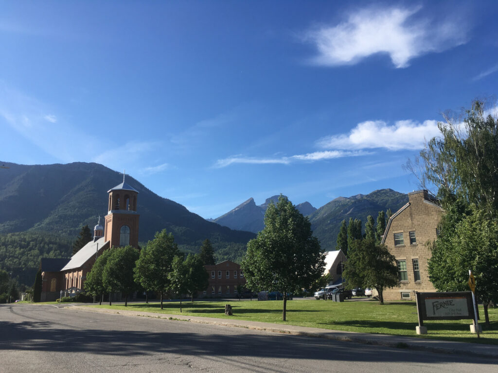
Revisiting Lethbridge and Southern Alberta
Although it is the fourth-largest city in Alberta by population, I had never even heard of Lethbridge when I stumbled upon the website of the University of Lethbridge in late 2011 while researching potential universities where I might pursue studies in audio engineering. I ended up moving to Lethbridge in 2012 and living there until my departure for France in 2017. Lethbridge holds an important place in my heart, as the home of a lot of significant “firsts” in my life: it’s the place where I first lived away from my family, the place where I purchased my first car (and learned to repair it – repeatedly), the place where I had my first housing lease under my own name, the place where my first significant relationship began and ended, the place where I first held a permanent work position, the place where I first made myself sick from drinking as an irresponsible young thing… you understand. The years that I spent there were truly my formative years as an adult, and despite my issues with the generally conservative attitudes of the region, I adored my time there.
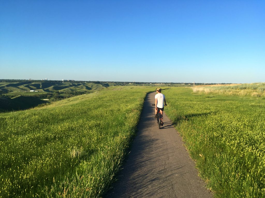
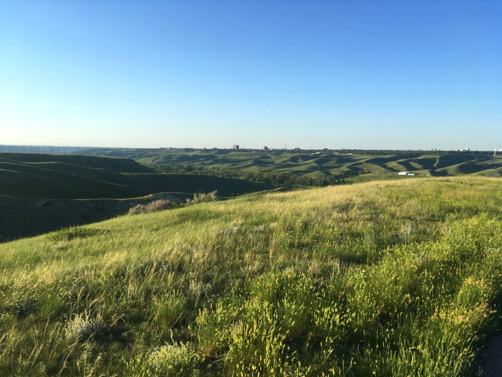
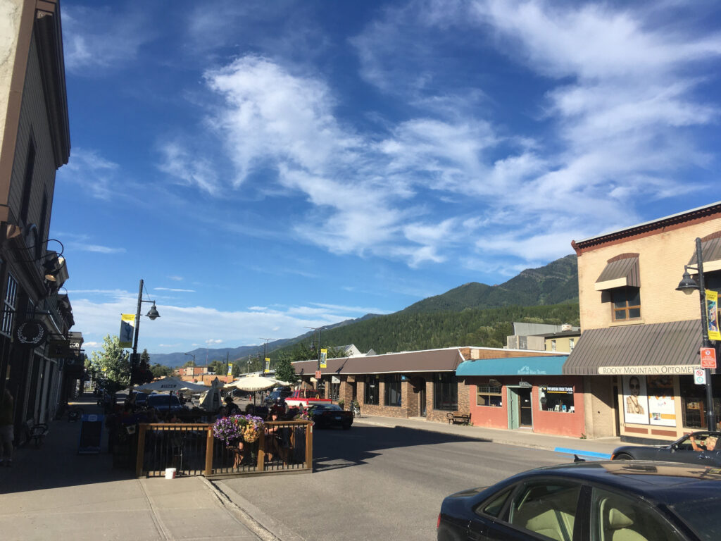
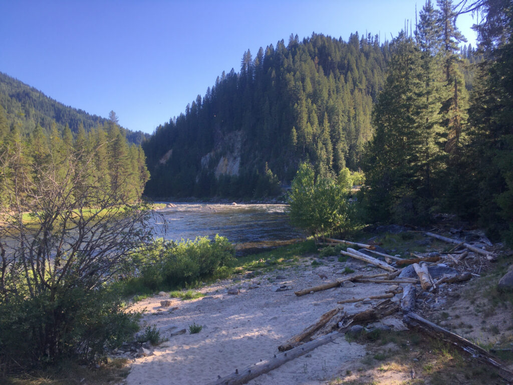
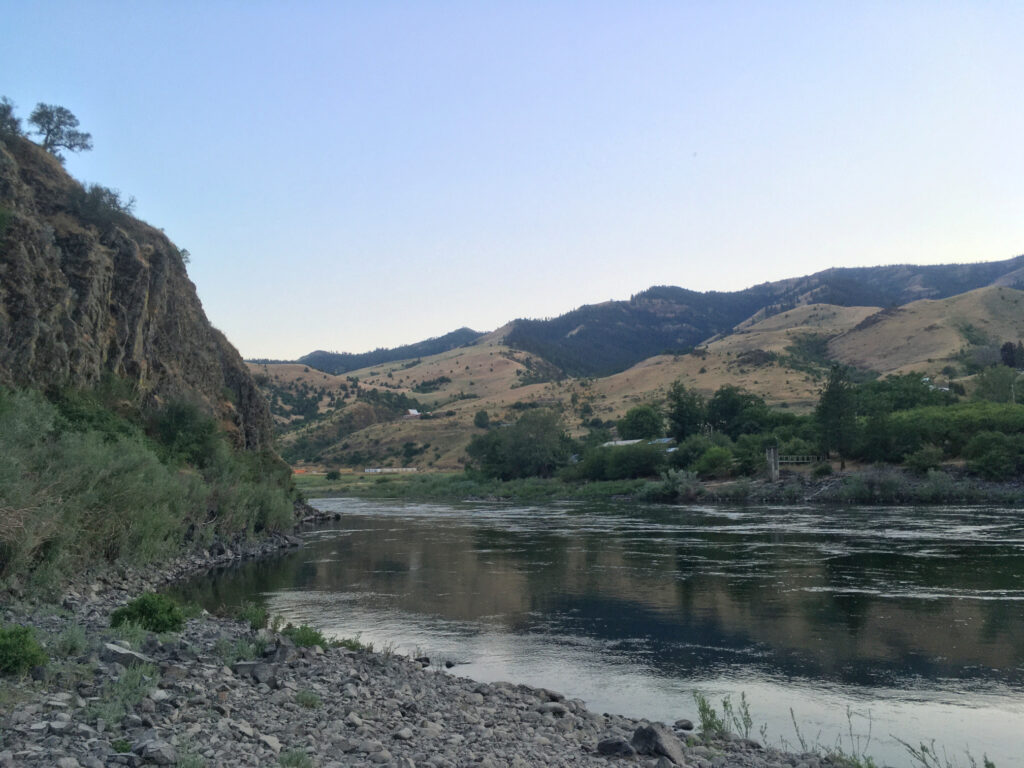
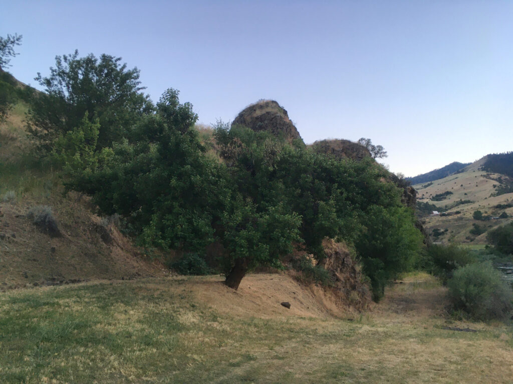
Lethbridge spans both sides of the Oldman River, which starts in the Rockies and eventually merges with other rivers on its long journey to Hudson Bay. The river’s valley features coulees, rolling hills sloping inward towards the river. Here are some photos taken around the river valley in Lethbridge, on the west side of the Oldman River:


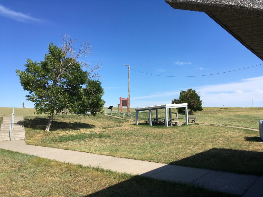
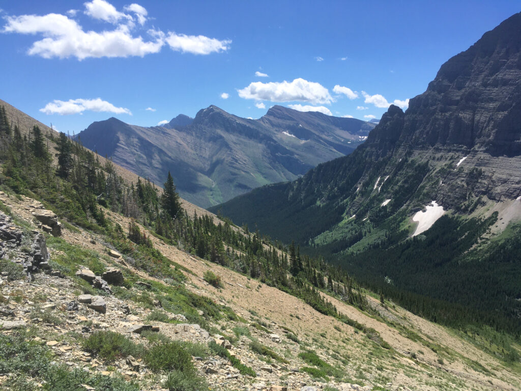
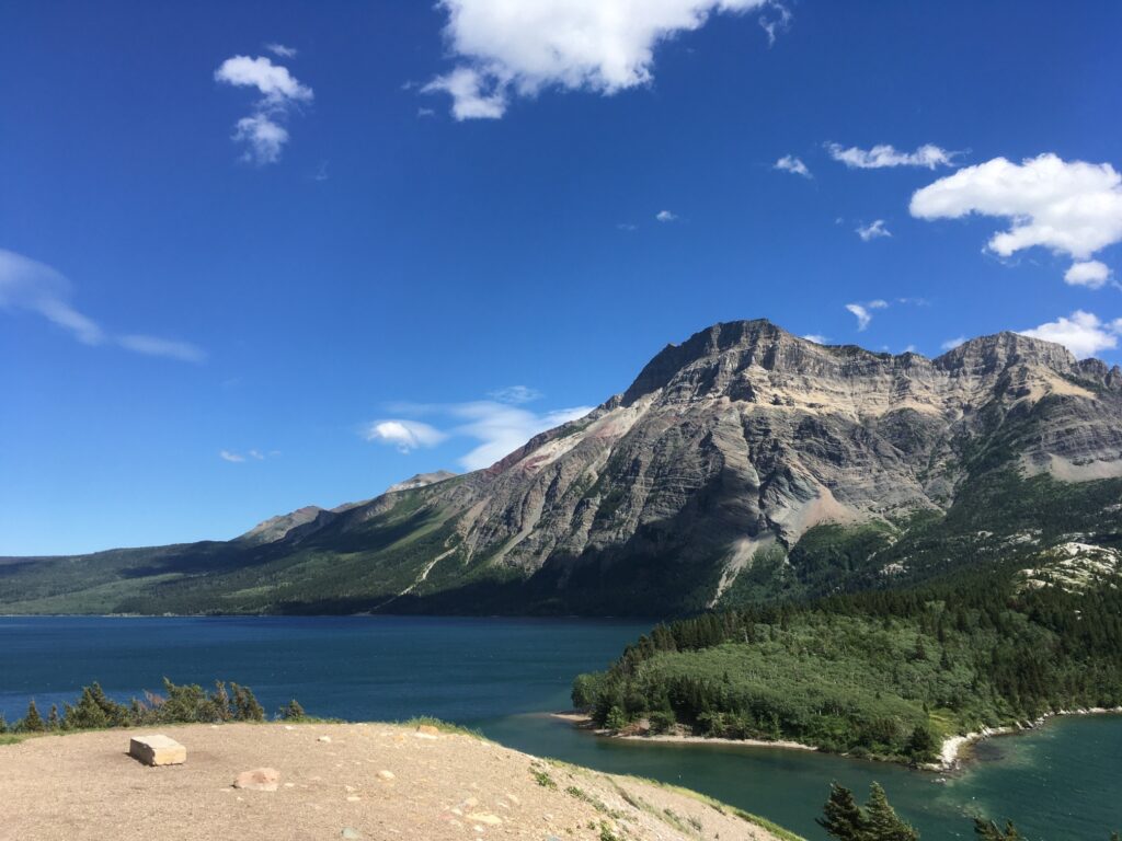
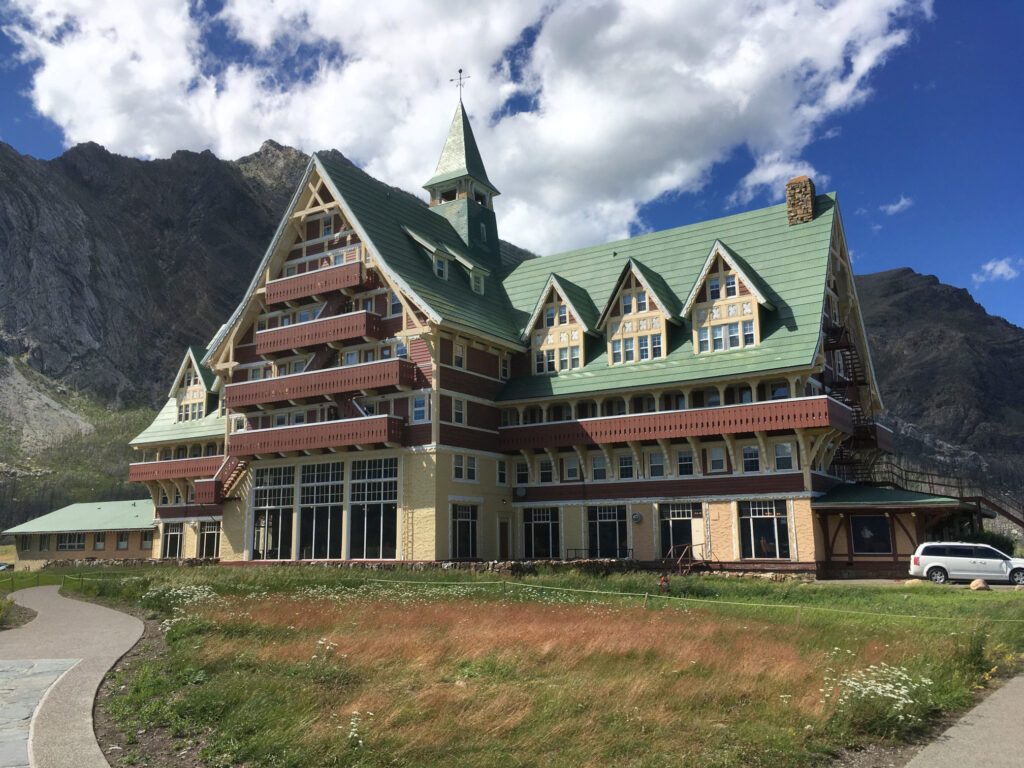
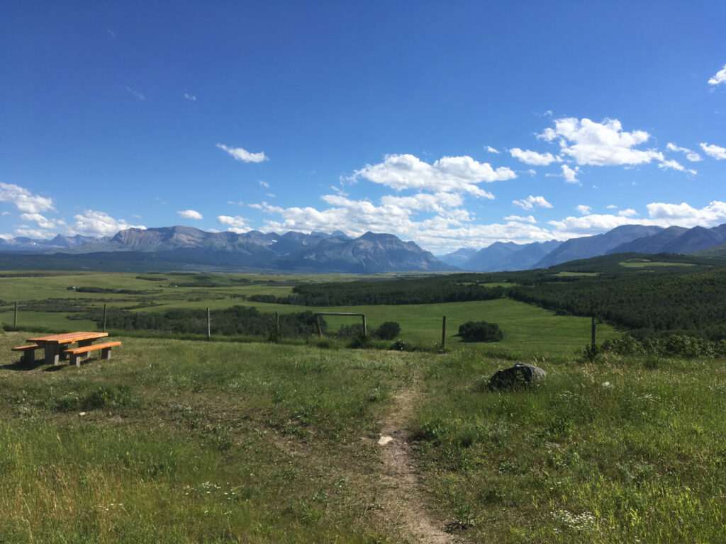
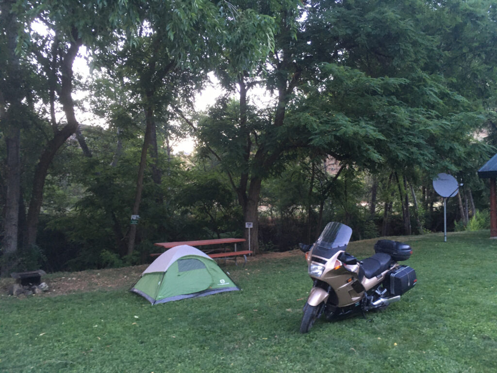
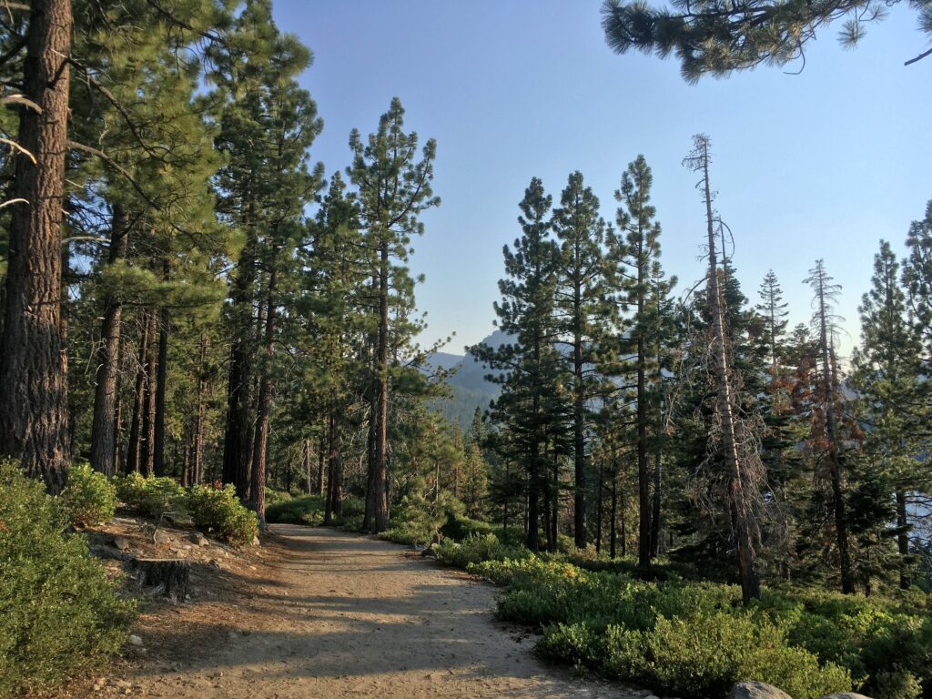
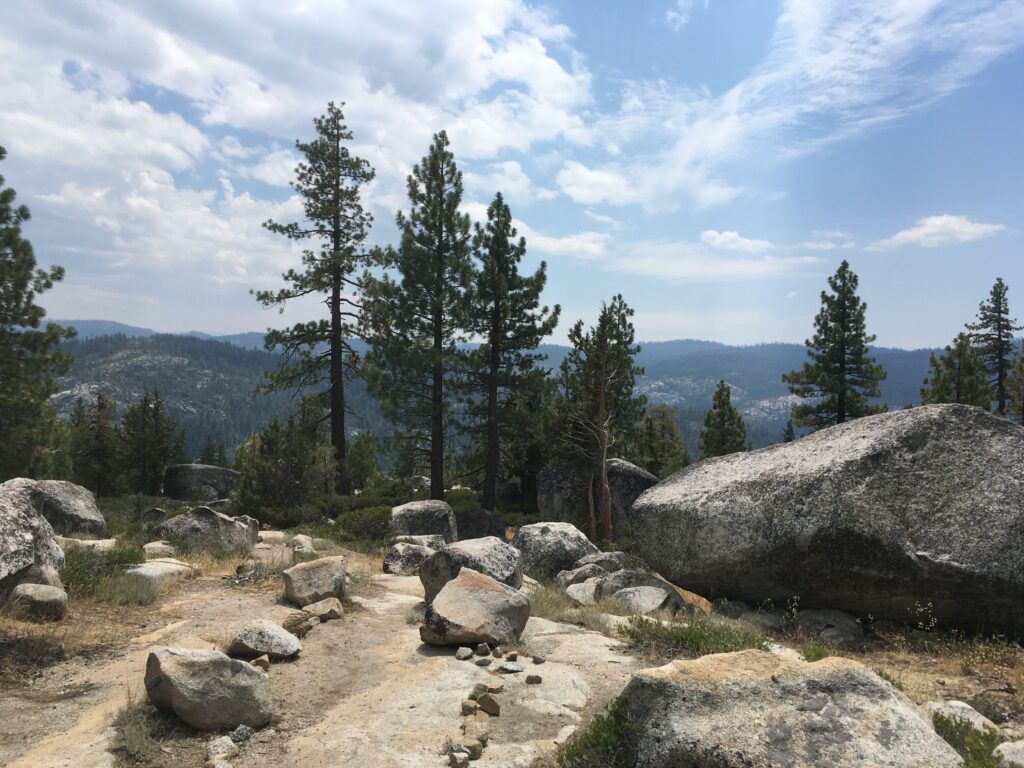
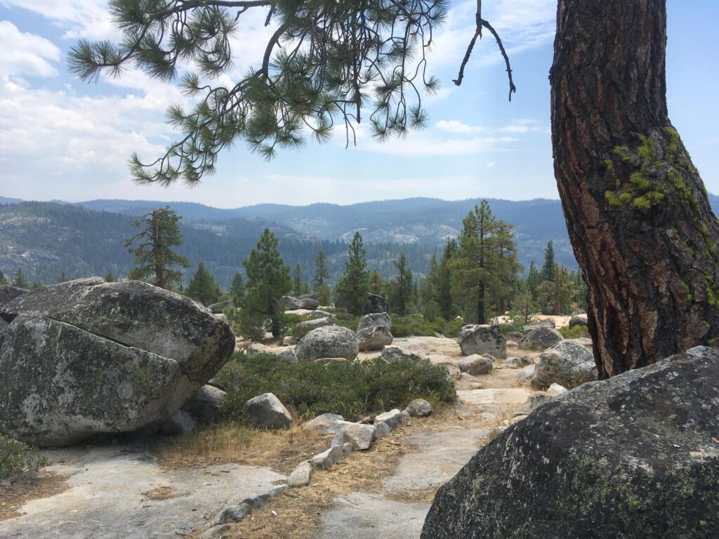
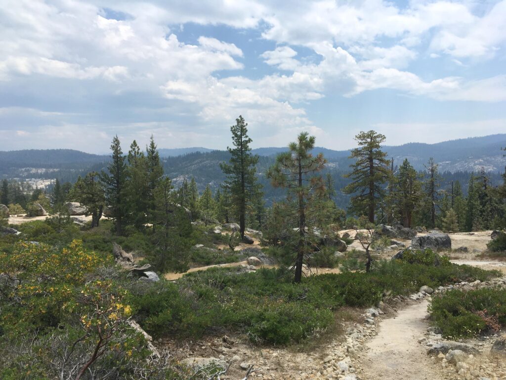
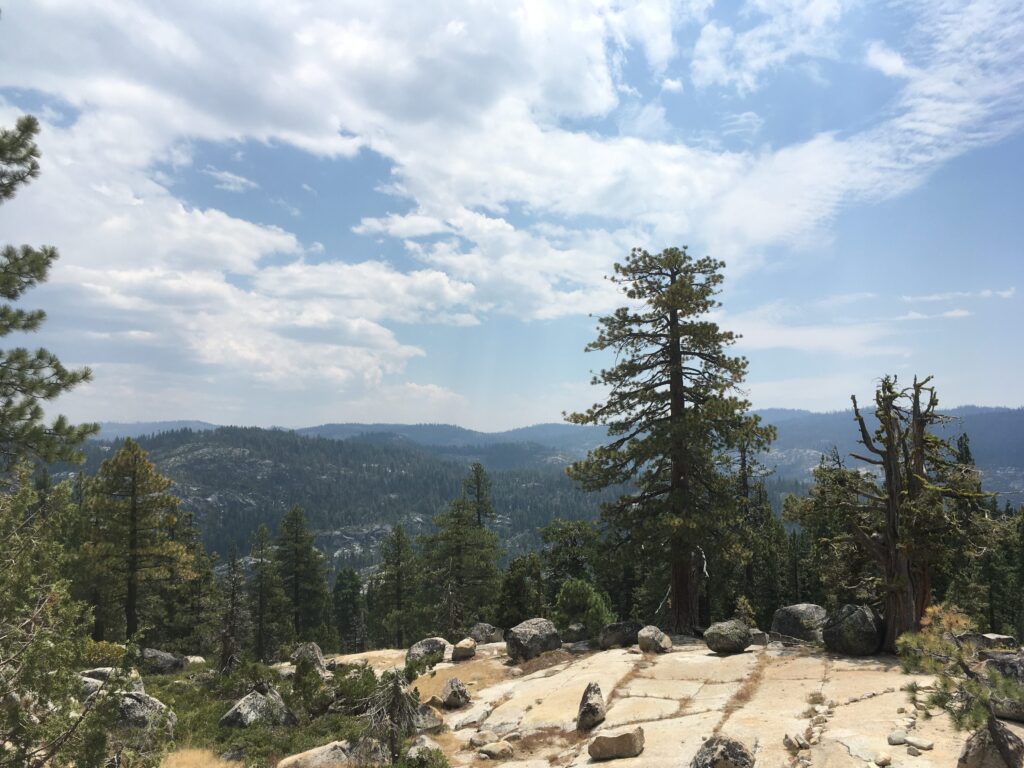
After arriving in Lethbridge, I spent a few days with my good friend Max, watching him perform music at the South Country Fair in Fort Macleod, exploring our old university campus, and heading to the mountains for some hiking. It’s really a beautiful part of the country:
British Columbia, then down to the Pacific Northwest
After spending a few days in Lethbridge, it was time to say my goodbyes and move on. Back on the motorcycle, I got onto the Crowsnest Highway and headed towards the mountains. After crossing the Crowsnest Pass, Alberta gave way to British Columbia, and I spent a little while enjoying my winding route through the mountains before arriving in Fernie, British Columbia, where I would spend a couple of nights with my friend and former university colleague Victoria.
Fernie is a city of just five thousand residents with a large focus on outdoor sports. A major ski destination in winter and cycling/climbing/hiking destination in summer, it has lots to offer for outdoor lovers. It seems to be a major destination for Australians and New Zealanders coming to Canada on Working Holiday Visas, given how quickly one can hear those distinguished accents when getting something to eat or drink in the small downtown area. It’s a really lovely place to stop on a trip through the Rocky Mountains. I didn’t remain here for long, and after catching up with Victoria and purchasing some camping supplies, I continued on my way, crossing into one of my favourite places to visit, western Montana.
Montana, Idaho, and beyond
When I first started riding motorcycles in 2014, while living in Alberta, I spent many weekends going to Montana, enjoying the curvy roads through the beautiful nature, and doing lots of camping. Of all the places to visit in the state, one of my favourites is Lake Koocanusa (as in Kootenai River, Canada, and USA), a long, narrow reservoir created by the damming of the Kootenai River in the 1970s. On the west side of the reservoir, there are roads allowing access to the Kootenai National Forest, with lots of great camping spots. On the east side of the reservoir, Montana Highway 37 hosts the Lake Koocanusa Scenic Byway, a gorgeous hundred-kilometre road that follows the shoreline of the reservoir and provides a wonderful experience for motorcyclists, with wide, swooping turns and a very pleasant speed limit of 70 MPH (though many areas should be taken more slowly in anything less than perfect weather conditions).
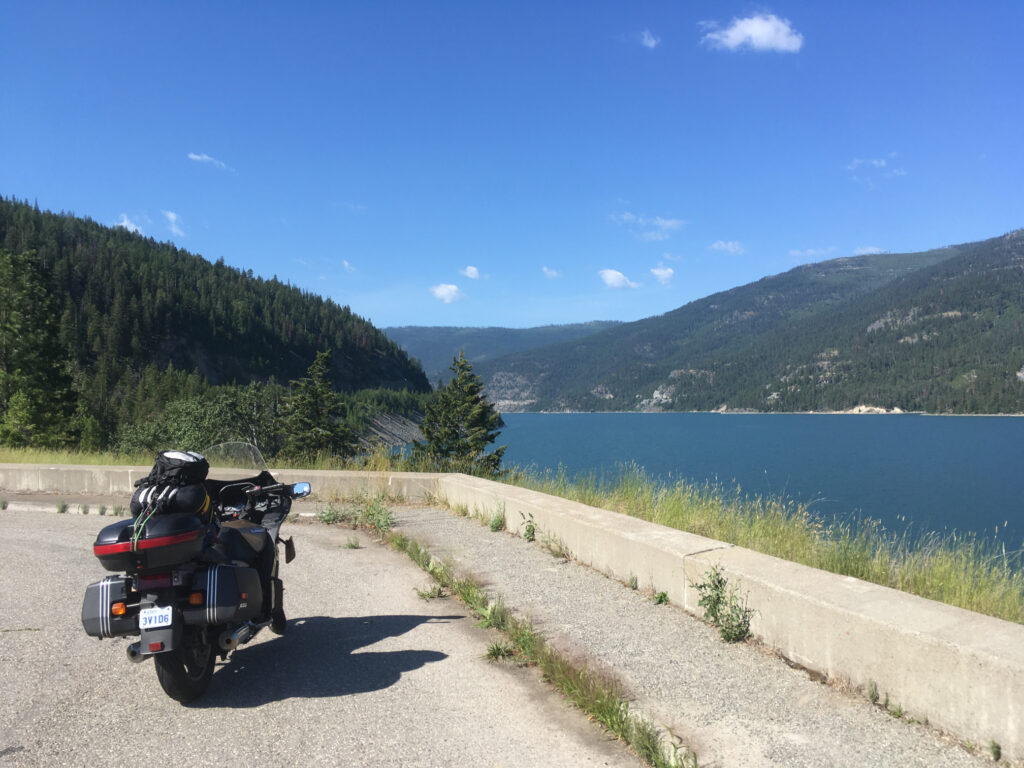

After driving south along the reservoir for a bit less than an hour and enjoying the beauty of the mountains, I stopped at the Libby Dam (built to create the reservoir), chatted with some cyclists who were visiting from Arizona or New Mexico, then continued south.
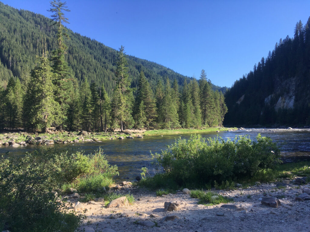
I headed for Missoula, Montana, where I got onto US Route 12 heading west, which would take me to another of my favourite motorcycling routes: crossing the Lolo Pass from Montana into northwest Idaho, following the Lochsa River. For two hours, this beautiful route takes you along a windy river through the Nez Perce-Clearwater National Forest, passing many nice resting areas and campsites.
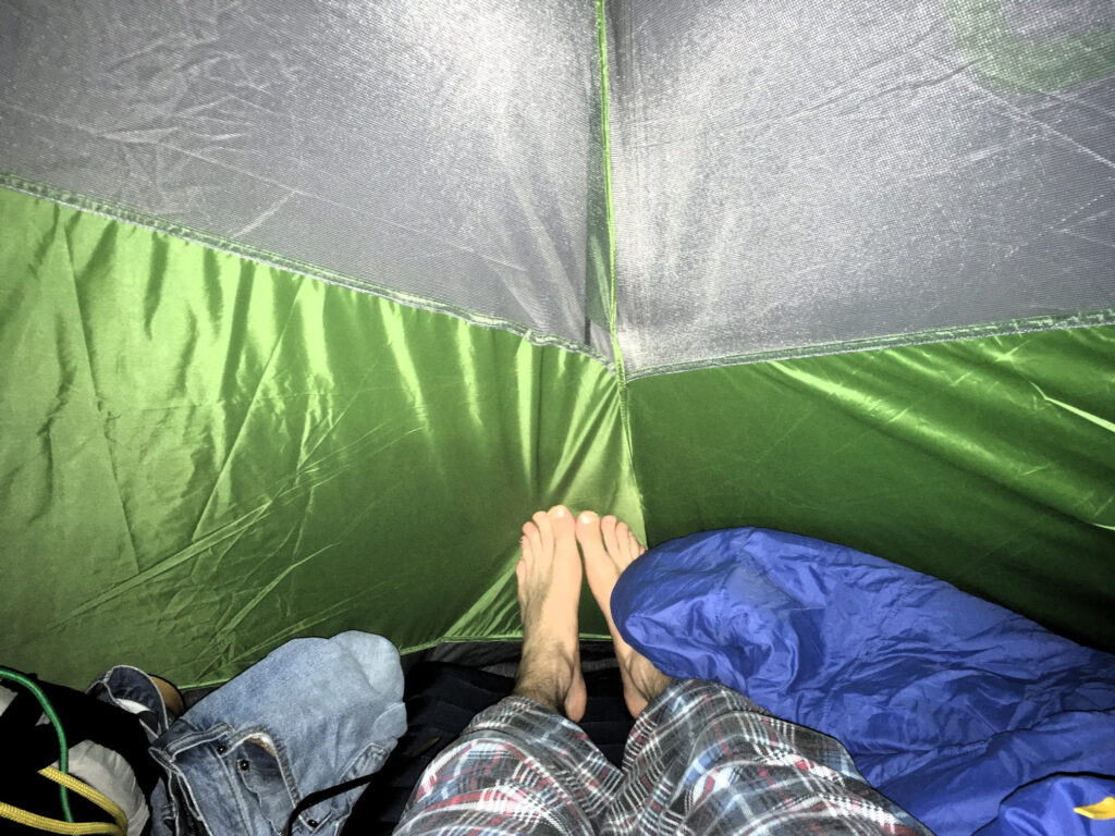
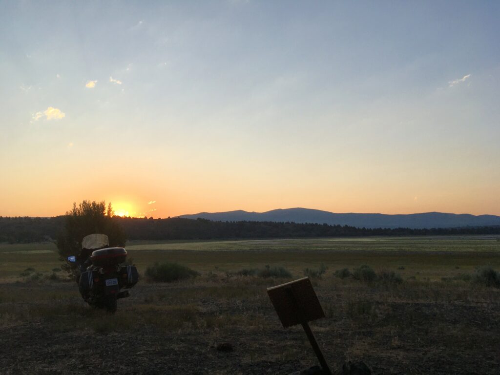
After following this route for a while, I exited the national forest, and started heading south on US Route 95. It was a pleasure to ride through the rolling hills of this brown, grassy landscape, and I did not want the day to end – but alas, it was time to find a place to sleep. I found a campground just outside the tiny community of White Bird, Idaho, and set up my tent for the night.
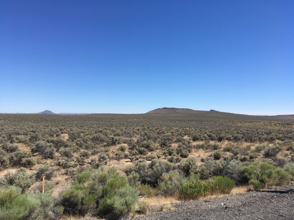
The next day, after feasting on a Clif bar for breakfast, I continued south on US 95. After crossing into the city of Ontario, Oregon, I got fuel for myself (Clif bars, again) and the bike, and headed west, planning to enter the northeast corner of California before the end of the day. The weather was very hot, and there wasn’t much to see along the way to keep me interested, as the rolling hills had given way to flatter areas.
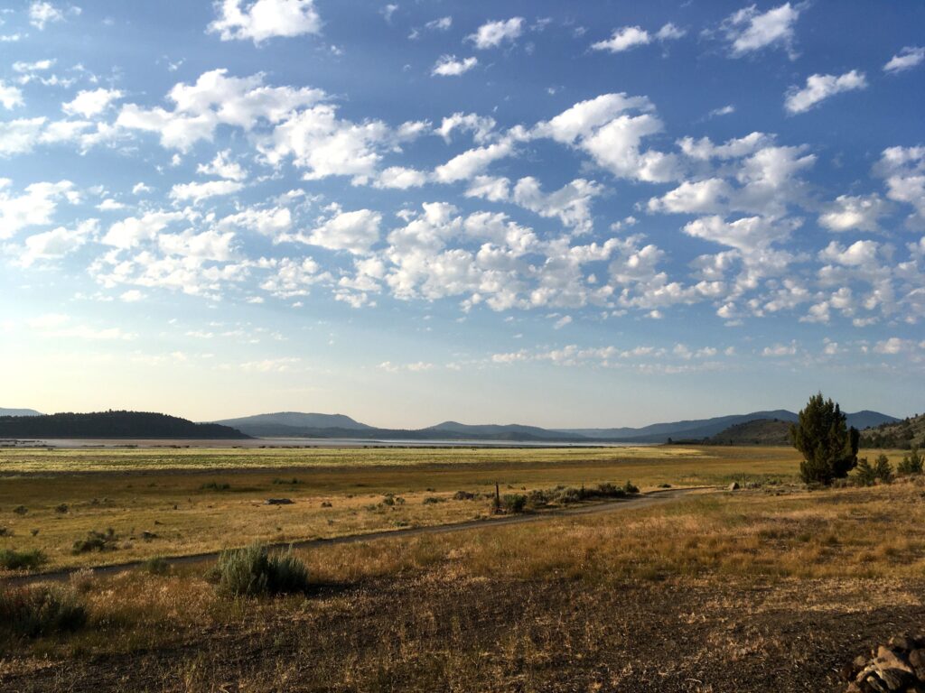
In the afternoon, I started heading south on US Route 395. The temperature was high, and I had to stop on the highway several times due to construction projects, so progress was slow, and I was uncomfortably sweaty in my riding gear. However, the sky was blue, and it was impossible not to enjoy the experience!
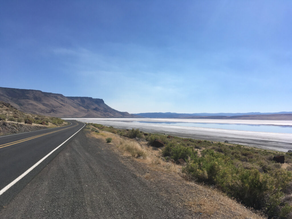
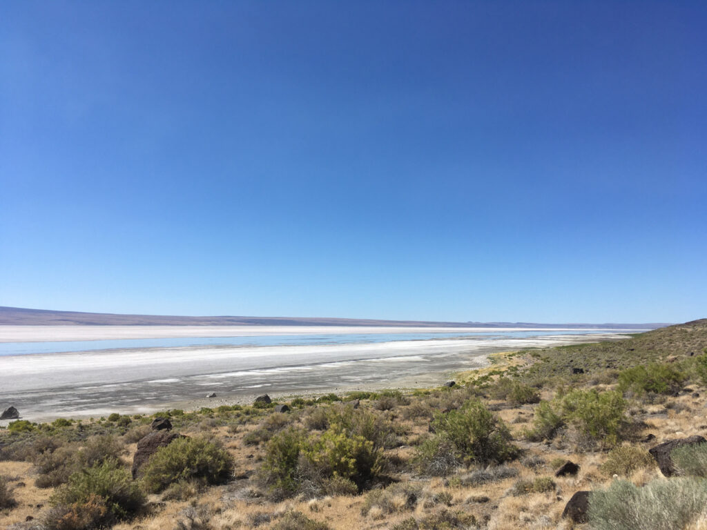
I continued past Lake Abert, an alkali lake surrounded by… nothing, really, as it doesn’t support any wildlife other than brine shrimp due to the composition of the water, and isn’t conducive to recreational activities.
California
As the sun continued its descent, after crossing from Oregon into California, I stopped for a few moments to look for a place to stay. I decided on Eagle Lake, an alkaline lake in the northeast corner of California. Eventually leaving US 395, I followed some smaller state highways to reach the campsite.
The area surrounding the lake was quiet, and the U.S. Forest Service campsites seemed to be practically abandoned; I saw no one else during my stay in a beautiful site with a great view of the edge of the lake. After driving through a couple of hamlets around the campsite, I gave up on the idea of finding dinner anywhere, as all services seemed to be closed, some for the night, and others permanently. I wonder what conditions existed that might explain the existence of the campsites and now-closed food stops around the lake, and what had caused them to close.
When I woke up, quite early, I was hungry. After my dinner of Clif bars, I was looking forward to finding some coffee and warm food as I headed towards my evening destination, Lake Tahoe. After quickly packing up my tent, I got onto California Highway 139 to head south, stopping in the small city of Susanville for a coffee and toast (there were no other vegan options) in an unassuming diner. Then, I continued south in the general direction of Lake Tahoe. My chosen route, a windy line following a couple of state highways, was beautiful. I traversed hilly forests with swooping curves in the road, descended into plains occupied by agriculture, and re-entered other forests, only being bothered by the slow-moving trucks involved in the extensive logging activities in the area.
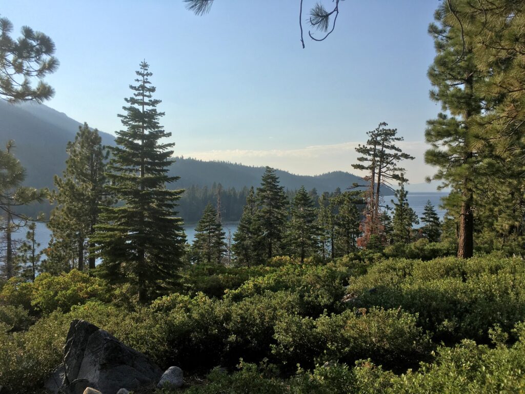
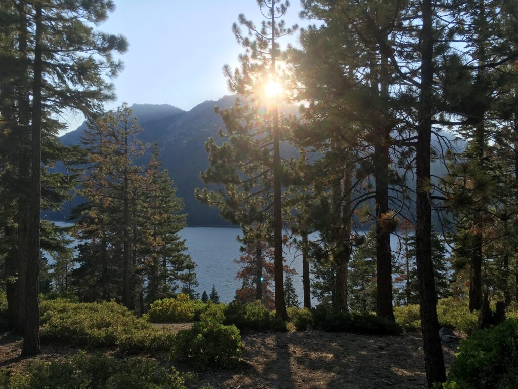
After reaching the town of Truckee, California, I continued onto my last stretch of highway for the day, crested a mounted pass, and was greeted with the beautiful site of Lake Tahoe, North America’s largest alpine lake. I descended towards the road that circles all around the lake, then started a clockwise drive around the lake, crossing into Nevada. Lake Tahoe is a major tourist destination, and I was excited at the good change that I would be able to find some vegan food. I eventually found a deli offering some choices that I could eat, and despite my distaste for the fact that the payment machine asked me to pay a tip despite ordering at a counter (and under the careful watch of the the anxious-looking employee who had not yet prepared the sandwich), I quite enjoyed my sandwich, which, I believed, contained tempeh, of all things!
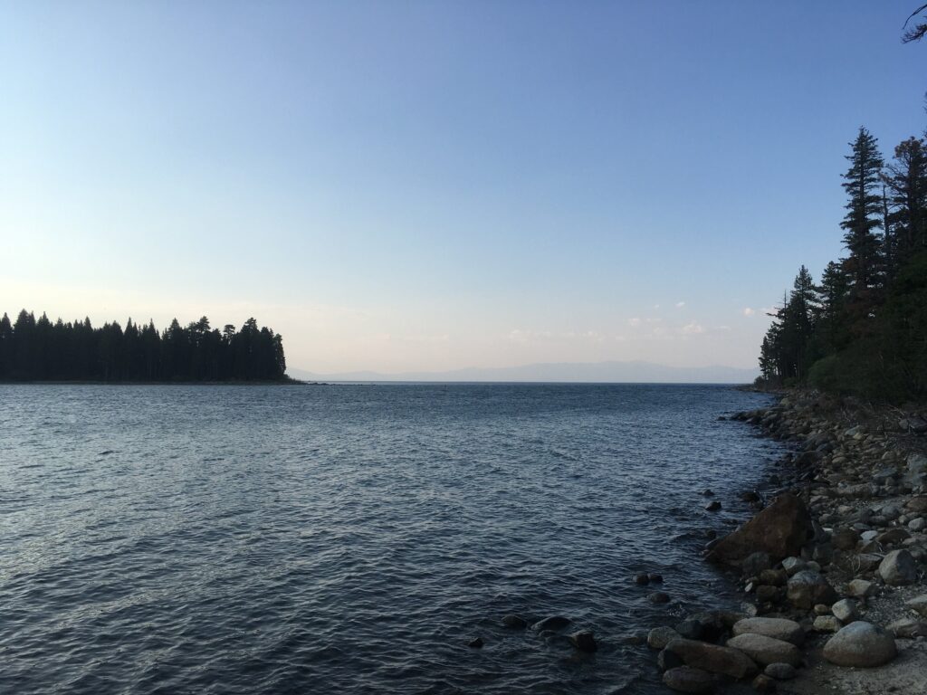
I continued my clockwise rotation around the lake, knowing that I would need to start looking for a campsite soon. Unlike the campsites at Eagle Lake, the campsites around Lake Tahoe were packed full of visitors. I had considered looking for a motel for the night, having once stayed in a very reasonably-priced motel close to Lake Tahoe many years earlier, but this quickly proved to be too expensive. After spending an hour being turned away by every campsite on my path in Nevada and after crossing back into California around the south end of the lake, I found a beautiful campsite in Emerald Bay State Park, in the southwest corner of the lake, a few kilometres away from the bustling tourist stop that is the city of South Lake Tahoe. After setting up my tent and unpacking my bags, I drove back towards the city, stopping at a 7-Eleven to purchase all the supplies necessary for a dinner of potato chips and peanut-butter-and-jam sandwiches. Upon my return to the campsite, I took the occasion to wash off a few days’ worth of sweat by going for a swim in the lake at sunset.
After the very pleasant swim, I retired to my tent, ate my sad dinner of sandwiches and chips, watched a few videos of Climate Town, and slept.
The next day, I started later than I’d hoped. I headed south on California route 89, aiming to join California Highway 4 and head west. When I stopped for a coffee (the only animal-free option available) at a small establishment in the tiny hamlet of Markleeville, I witnessed the peculiar site of what appeared to be some kind of gun/hunting event occurring in the café: there were a dozen or so guns of various sizes – including what appeared to be handguns – just sitting on a table, while their owners were across the room looking at some forms. I don’t know much about gun laws in California, but it seems hard to imagine that leaving a bunch of guns sitting on a table in a public place is either legal or “responsible gun ownership.”
After joining up with California State Rotue 4 and heading west, I encountered an unexpected treat: Ebbetts Pass. This motorcycling jewel of the Sierra Nevada mountains features tens of kilometres of technically challenging riding, hairpin turns, and steep but rapidly-changing includes. As a result, it had very little traffic. Even at the low average speed at which I was moving, it was great fun to zoom through the tight corners on my somewhat heavy bike.
After cresting the mountain pass, I continued for a few minutes on the much less challenging west side of the pass, stopped for a feast of Clif bars, took a few photos, then continued west. My plan was to reach the coast of California the next day and to head south down the Pacific Coast Highway from Monterey to eventually meet friends in Los Angeles and then San Diego, so I began travelling west, leaving the Sierra Nevada mountains. After a couple of hours, I stopped in the small town of Angels Camp, found a restaurant that could adapt a dish to be animal-free, and relaxed for a little while. Then, it was another hour of travelling before finding a place to stay in what might be the most unappealing town I’ve ever visited, Oakdale, California, the self-proclaimed “Cowboy Capital of the World.”
Oakdale, CA
Shortly after entering the Cowboy Capital of the World, I saw two budget hotels directly across the road from each other, one being of the ubiquitous “Motel 6” variety, and the other being a humble establishment called the “Holiday Motel”. Both looked equally spartan, but I thought it would be nice to support the non-chain motel. After stopping at the Holiday Motel to inquire about their rate, which was exactly the same as the rate displayed on the Motel 6’s large sign, I decided to stay there. At first, the room seemed plain and rather old, but there were no particularly bad signs, so I put down my bags, and settled in. However, after looking around, I discovered that I was going to be spending the night in the filthiest place I’d ever stayed (beating even an ant-infested Airbnb where I had stayed at years earlier in Oakland, California).

Not shown: knife stuck into the rear window frame, holding a curtain in place.
This motel seemed to be family-run, and as someone who generally avoids confrontation when there isn’t a reasonable positive outcome to be seen (Why complain if, at best, I’ll just get another dirty room?), I decided that as long as there were no signs of bed bugs, I would tolerate the accommodations for one night. However, as someone having previously worked in the Custodial Arts and who took pride in that work, I would have been mortified at the thought of having even an unpaid guest, let alone a paying customer, sleep in a place that dirty.
Wanting to distract myself from the dire state of the room in which I would be sleeping later that night, I decided to walk down the main street of Oakdale and find something to eat. The main street was a mix of gas stations, car washes, and fast food restaurants, lacking any charm, and after walking into the “downtown” – little more than the block surrounding the town’s largest intersection – the most interesting building I saw was a bank. To be fair, perhaps there were more interesting things to do off of the main strip – Google did indicate the presence of a brewery – but I just didn’t see anything that was more tempting than the prospect of returning to the filthy motel room. I did find a shop called “I LOVE PARIS” that made me miss my home, but this was only due to its name, as it seemed to have nothing French-inspired about it. (Also, the Google reviews of “I LOVE PARIS” paint a rather miserable picture of the employees’ treatment of their patrons.)
I grabbed a sad, cheeseless pizza from Little Caesars, walked back to the motel, ate my sad, cheeseless plain pizza, and then went to sleep.
The Final Sprint to the Coast
I’m sure that there must be some nice things in Oakdale, but after my experience with the horrible motel and the dreary downtown, I was happy to get out of there and head towards the coast. My plan was to continue west until Monterey, then head south on the Pacific Coast Highway, continuing along this famous seaside route until reaching a state park close to Santa Barbara where I had reserved a spot to pitch my tent for the night. Traffic heading towards the coast was very slow at times on the smaller highways, but when I eventually saw the ocean, I was thrilled. I had been waiting for the opportunity to drive down this beautiful route for five years, as my last attempt in 2017 had been thwarted by some major mudslides that resulted in the closure of the highway for an extended period.
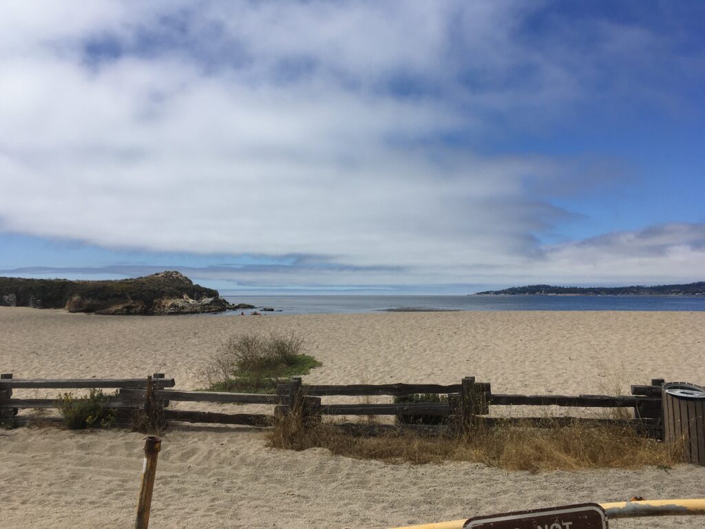
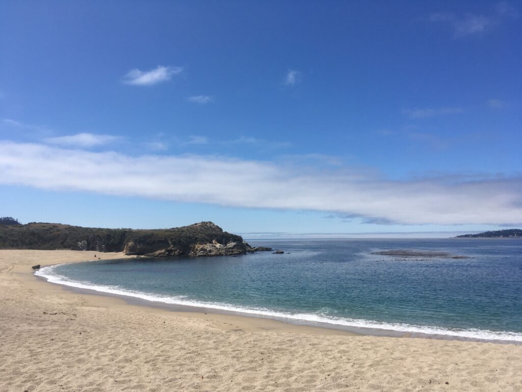
I reached the coast later than I had planned, after 2 PM. I was very hungry, having not eaten anything since breakfast (which was probably Clif bars and coffee, again), so I was keen to pull over to take care of my duties: feeding myself some more Clif bars, and calling my father to wish him a happy birthday. I saw a roadside pullout next to Monastery Beach, the last stop before the well-known scenic part of the Pacific Coast Highway begins, just a few kilometres away from Big Sur, so I decided to pull over.
As I slowed down onto a small parking area, I looked to my right, at the sandy beach and blue sky… and then, I felt my bike start to slide. I had not been careful enough, and had ridden onto a part of the parking area that was covered in a thin layer of sand, and had lost traction. The bike came down heavily on its right side, and based on the sounds that I heard, I immediately knew that something was broken.
Lifting a fallen motorcycle can be easy if performed using the correct technique, but in the case of a loaded-up sport-touring bike that had camping supplies and backpacks strapped to it, it was far from obvious to me how I would be able to lift the motorcycle. Motorcycle courses teach you how to lift fallen bikes (putting the bike in first gear, crouching down, pushing your butt against the seat, and using your legs to push you and the bike up), but given that the bike had fallen on a sandy patch, this method was ineffective. There were several able-bodied adults close by, but surprisingly, those who had noticed my predicament contented themselves with the role of “observer,” making no effort to help the single man lift a clearly very-heavy motorcycle, until the looks and gestures imploring them to provide some assistance were understood. Eventually, one man came over and helped me lift the bike upright, which immediately revealed some serious damage: the aluminum bracket to which the right footpeg was attached had sheared off.
I was hungry, angry, and now somewhat stranded. Riding down the Pacific Coast Highway without anywhere to put my right foot would be dangerous, considering that the right foot is the one that operates the rear brake. I suspected that I would not have an easy time finding a footpeg for a 22-year-old motorcycle, and that this incident, a result of allowing myself to become hungry and distracted enough to have allowed the bike to fall over on sand, would have potentially dire consequences on the rest of my trip.

I allowed myself about ten minutes to sulk, moan, feel anger towards myself, take a few photos of the beach, and – most importantly – eat a bit of food, which helped me to calm down. I called my father to wish him a happy birthday. Then, I set about seeing what I could do next.